Cloud Creek
Cloud Creek
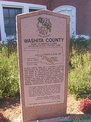
Washita County
Home of American's First
Upstream Flood Control Dam
Cloud Creek #1
Washita River Basin
Dedicated
July 8, 1948
Rededicated July 3, 1990
Cloud Creek Dam NO. 1 Located 11 miles southeast of Cordell was the first of 1140 dams in the Washita River Basin and the first of over 10,000 nationwide. It was built in partnership with the local community, The Washita County Conseration District and USDA Soil Conseervation Service. These Dams provide flood control, water suppy, recreation, wildlife Havitat and improved water quality to many communities.
"The entire Washita Flood control program is in itself a monument to the understanding and the energy of the people in Oklahoma who were among the first to take up the soil conservation program and who are leading the way in upstream watershed treatment for flood control."
Hugh Hammond Bennett, Chief
USDA Soil Conservation Service
July 8, 1948
Oklahoma Historical society 231-1998
Location
Directions
Location of Mounment:
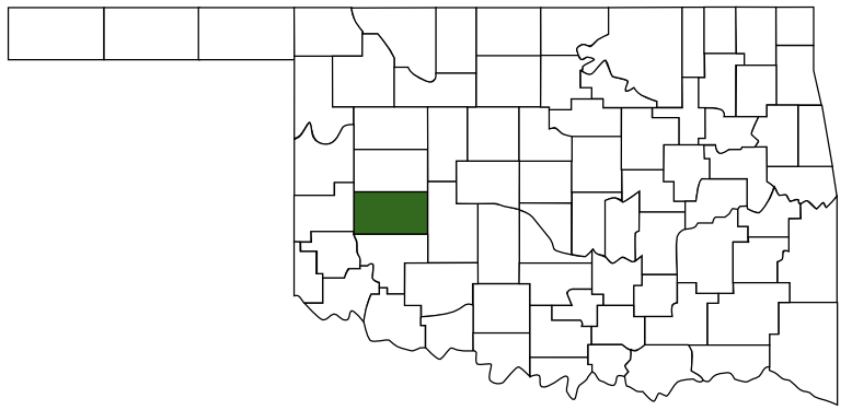
On the grounds of the Washita County Courthouse on the Southeast corner on the East side. Cordell, Ok , Washita County
Location of Dam:
4.6 miles East and 5 miles south of Cordell, Ok on OK 152
(Note: There is a road sign on the right side of Highway, marking where to turn, I went 5 miles but I couldn't find the Dam. I will have to make another trip to find the Dam with better instructions.)
Regions
Maps
- 35.290970, -98.989433
- OpenStreetMap
- Google Maps
- Bing Maps
- Apple Maps
- MapQuest
Pictures
Notes
http://www.nrcs.usda.gov/programs/WSRehab/wsr_main/cloudck.html
http://www.okcc.state.ok.us/CP/CP_FC_home.htm


 Washita County
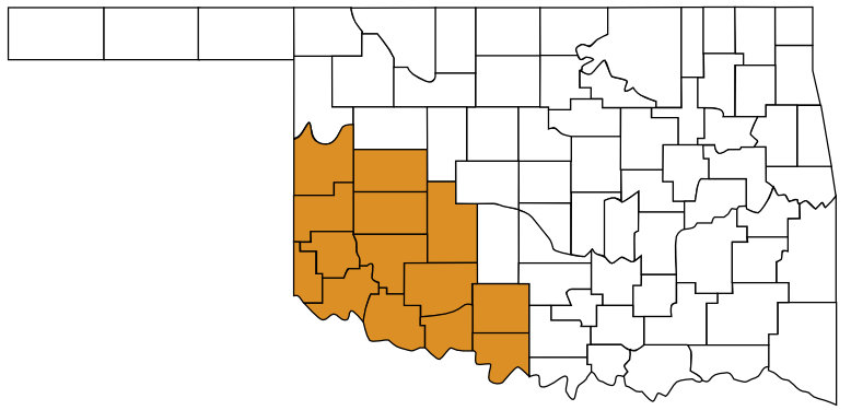
 Great Plains Country
 Oklahoma